You are hereBirds Eye & Maps / Ourimbah in Google Earth
Ourimbah in Google Earth

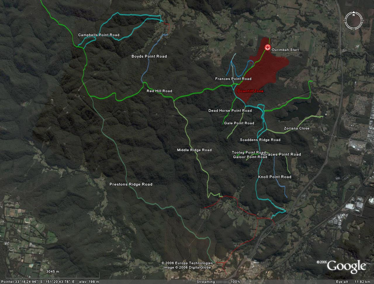
WARNING: There are many smaller trails that lead to dead ends off many of these trails, particularly Prestons Ridge, Red Hill & Middle Ridge. I haven't ridden any of them (as yet) either.
Shown here is are those trails from the topo map that looked like they could be joined up to form half decent loops without too much time on the road.
Red section is shown in more detail here.


- Login to post comments