You are hereManly Dam - Main Circuit
Manly Dam - Main Circuit
One of Sydney's most popular rides - the famous mountain bike circuit around Manly Dam Reserve.
This is the basic loop, taking in some technical single track, some firetrail and some roads to link it all up.
Here's the pictorial guide to navigating around Manly Dam.
Starting at King Street, Manly Vale. By Manly Hydraulics Laboratory:
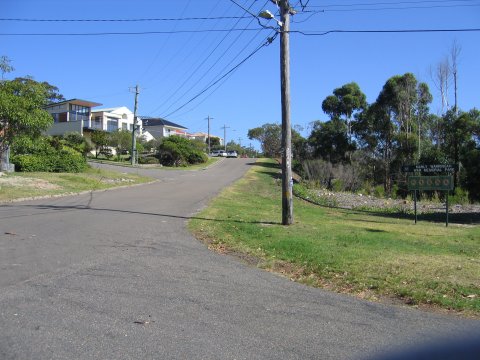
Head up Arana Street:
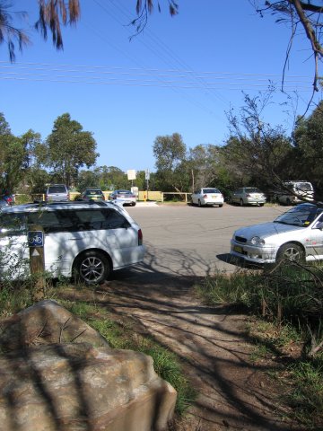
Turn right up Gibb Street and past the school and into the carpark beside it:
Past school on your right (that's the fence just visible), through carpark and onto single track beyond. Some people like to start at this carpark too:
Turn left, avoiding the walking track on the right. This leads up a short, steep climb:
Keep going then the trail turns round to the right and is an easy climb over some tree roots:
Come out onto the road and follow it uphill to the right:
Turn right, keeping the War Memorial Park on your right and continue uphill:
Go straight into Bangaroo Street then left behind the houses - don't worry about the sign - you're on a bike 
Follow narrow climbing path by the roadside on Manning Street:
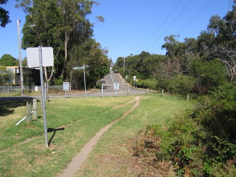
Enter narrow path through trees on right, directly by the mini roundabout. Climb through trees on rooty single track:
Exit trees, cross carpark onto the path to the right of the oval:
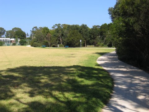
Ride along the gravel path by the oval:
Turn sharp right into single track through trees:
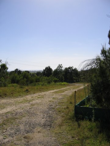
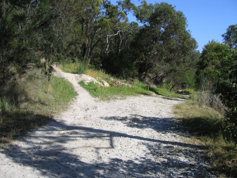
Come out of trees, turn right on road width gravel, slight downhill:
Bear up to the left here unless you want to end up on the golf course 
Wind through single track. Some rocks in here but nothing too tricky:
Reverse angle - nice stuff:
Second stage in the short but steep rock roll downs:
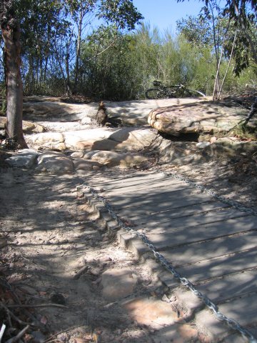
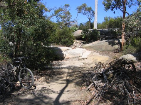
Come out onto a large rock. You can get up this coming straight from the boards, but many people like the easier route to the right:
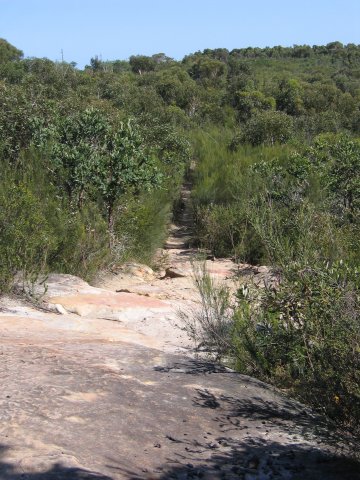
Quite a technical little climb:
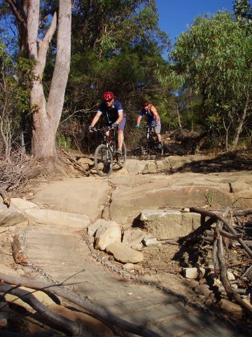
Bear right down some rock steps - the track here is straight enough, but a few rocks make it a little uncomfortable for a small section:
You're now around halfway round. Come out onto fire trail near Wakehurst Parkway and turn Right:
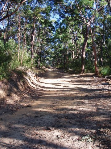
Follow the firetrail down to the creek:
Cross the creek. If there's water flowing you're probably covered in mud from the descent. Take it easy 'cos there's some climbing to come:
The little Heartbreak Hill. Here we see it after grading sometime around Dec 2006. Gone are the technical challenges of rocks that have been replaced by just a couple of water bars which offer little resistance:
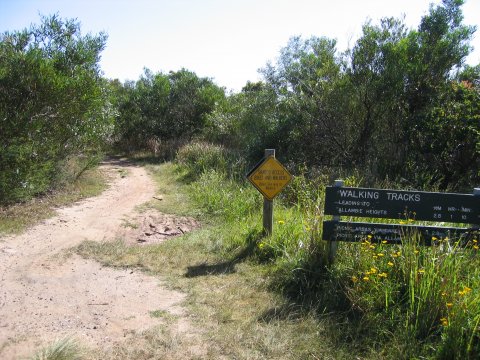
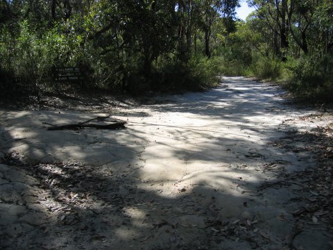
To the left is Evas Track - don't go up there - or the rangers will be on your back (it's for walkers only). Carry straight on for the main loop:
There's a small track off to the right, but it's too narrow for a bike, carry on straight ahead:
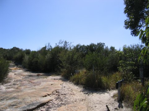
Time for some fun - turn right (left as seen here - it's reverse angle):
Do not come out here at speed! 6 foot drop straight ahead or easier route round to the right of that:
Biggest drop on the circuit and 6 foot plus. If you didn't turn right at the end of the boards then you're probably lying broken here 
This image is reverse angle, beginners can ride around to the right (as approaching from the other direction) or there's no shame in getting off and walking:
Come out behind some houses, cross a narrow bridge and pass a playground. Up and turn right along the road just past there:
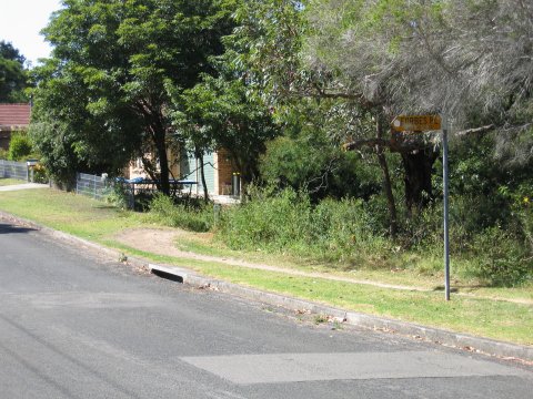
After cycling along/by the road, hit the trail again to the right, just past Forbes Place:
After a tiny climb the path meets a road here, but don't worry about that - keep on going round to the right:
Turn right past the carpark and continue on behind the houses:
Right into the trees again. Some steps, rocks and roots in this section, watch out:
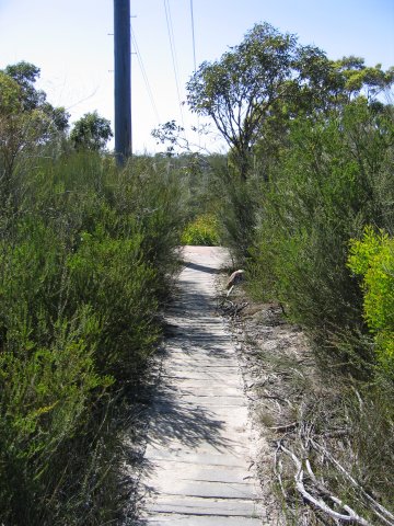
The board walk in the foreground here was put in during works sometime around Apr 2006. Although care is still needed, it's not half as tricky as it used to be.
Almost done. Negotiate the speed reduction railings, over a small bridge and back up to King Street:
A GPS profile to follow here:
- Login to post comments
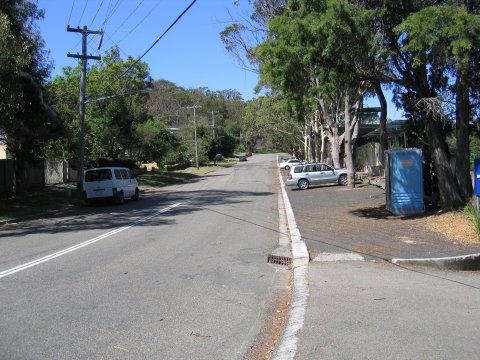

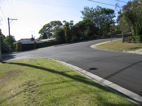
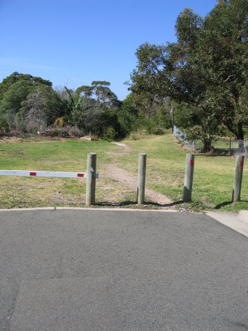














Great MD walk through... with pics!

Awesome guide! I used this via my iPhone over the weekend and it worked a treat!
Interesting to compare how much overgrowth has occurred in the 6.5 years since these photos were uploaded.
Even more noticeable from a rider's perspective is the amount of erosion that has occurred over the last couple of years since volunteer maintenance was canned, especially at the very last roll-down at the bottom of 19th Hole. There's been a good 150-200mm of material washed away there, most of it since the electricity company bulldozed the access 4WD track that stops just out of sight at the top right corner of the photograph.
There is now no hanging swamp to catch and divert the water flow, it runs straight down slope and off the end, and through the clay pan at the bottom, taking more and more trail material with it.
Some water bars are desperately needed on the electricity company track.
I don't even recognise half the places, they''ve changed so much.
It is so overgrown now its not funny
Is that last picture the pathway that goes across the little bridge that spits you out just below the water treatment plant?